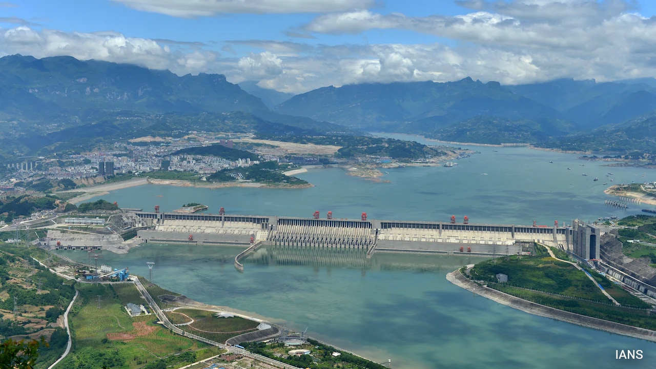
China is pressing forward with building the largest hydropower project on Earth, located on the Yarlung Tsangpo river in Tibet, a mere 50 kilometers from the Indian border. It is a massive project designed to churn out three times the power of the Three Gorges Dam. But a startling revelation from Beijing's own scientific community shows the project is facing a catastrophic hurdle. The multi-billion dollar mega dam is being constructed directly on top of an active geological fault line that has been shifting since the Ice Age.
For years, downstream nations like India and Bangladesh worried about water security and potential weaponization of the river flow. Now, the danger is much more immediate and physical. According to a study published in the Chinese-language journal Sedimentary Geology and Tethyan Geology, supervised by the state-run China Geological Survey, the under-construction Medog Hydropower Station sits right on top of the Paizhen Fault. The ground beneath this massive engineering feat is fractured, weak, and highly unstable.
The Shocking Admissions from Beijing's Geologists
Government-backed scientists from institutions like the Chengdu University of Technology and the Civil-Military Integration Centre of the China Geological Survey didn't hold back in their assessment. They explicitly warned that the Paizhen Fault has been highly active since the Pleistocene epoch. That means it has been grinding away for over two million years and continues to move today. In fact, sediment data proves the fault shifted as recently as 9,500 years ago, which is the blink of an eye in geological terms.
The researchers stated plainly that this active fault has fractured the surrounding bedrock, heavily degrading its mechanical strength. When you pack billions of tons of concrete and billions of gallons of water on top of fractured rock, bad things happen. The report highlights that the terrain surrounding the planned reservoir features a loose structure with incredibly weak cohesion. Once the reservoir fills up, long-term water immersion combined with inevitable seismic activity makes massive slope failures and landslides highly likely.
To put this risk into perspective, the team pointed to a magnitude 6.9 earthquake that struck Milin in Tibet in 2017. That tremor occurred right at the northern end of this exact fault line, serving as undeniable proof that the zone is far from sleeping. The entire region is part of the restless Himalayan collision zone where the Indian and Eurasian tectonic plates endlessly slam into each other.
The Downstream Nightmare for India and Bangladesh
When the Yarlung Tsangpo crosses the contested border into India's Arunachal Pradesh, it becomes the Siang River, which then forms the mighty Brahmaputra in Assam before flowing into Bangladesh as the Jamuna. Millions of lives depend entirely on this river system.
If this mega dam experiences a structural failure, the results downstream would be apocalyptic. Indian politicians have previously labeled the upstream projects as structural "water bombs" capable of wiping out entire cities if breached. A massive landslide triggered by the Paizhen Fault could choke the reservoir, causing sudden, uncontrollable floods or cutting off crucial dry-season water supplies entirely.
Erosion in this specific Tibetan canyon currently generates nearly 45 percent of the total sediment that flows down the Brahmaputra. Barricading this flow alters the entire ecosystem, stripping downstream agricultural lands of fertile soil and severely disrupting regional farming economies.
India's High-Stakes Countermove
New Delhi isn't just watching this disaster unfold passively. In response to China's aggressive upstream engineering, India has fast-tracked its own strategic infrastructure countermeasure. The government has drawn up a massive 6.4 trillion rupee plan to build its own giant reservoirs and transmission infrastructure in the Brahmaputra basin.
The primary goal of the planned 11,000-megawatt Upper Siang project in Arunachal Pradesh is to act as a buffer. If China suddenly releases a massive wave of water—whether due to an operational decision or a catastrophic structural failure caused by the fault line—India's downstream dam is designed to absorb the shock and prevent widespread devastation in Assam and Bangladesh. However, environmental experts warn that building competing mega dams in the world's most seismically volatile mountain range just escalates the ecological danger for everyone involved.
Moving Forward Safely in a Volatile Zone
Construction crews in Tibet are currently scrambling to reinforce the fragile slopes and install heavy retaining barriers to prevent immediate collapses during the construction phase. But engineering fixes have their limits when up against shifting tectonic plates.
If you live in or track the security of the northeast Indian border regions, you need to watch this space closely. Monitor bilateral water-sharing discussions and regional seismic tracking reports closely. The geological reality has officially caught up with the political posturing, and the stability of South Asia's most critical river basin hangs in the balance.
WION News analysis on the Himalayan dam risks provides an expert breakdown of the immense scale of this project and the unprecedented challenges engineers face trying to build it in a high-risk earthquake zone.